How all started
I live by the river. Especially in the summertime, when I sit on my terrace and watch all those beautiful river cruise ships go by, I think it would be interesting to know a little bit more about them. At the time, I already knew about the possibility of tracking the position of aeroplanes live, but for ships? I soon found a couple of similar sites on the internet where you could follow the positions of ships – but my region wasn’t covered. So I did some more research and found the amazing blog http://www.rtl-sdr.com/. The blog is absolutely fantastic; it shows several different applications of what can be done with a so-called RTL-SDR dongle. So in August 2015 I created my first Android app for decoding AIS ship positions.
It was the beginning of December 2015 when I received an email from Harmen saying that he would like to use my very first beta version of my RTL AIS driver app, but he had some problems with it. As my nautical experience was close to 0, this connection was very helpful for me. During the whole of December and early January Harmen tested my application and gave me some very useful ideas – just great that I got his email.
The main idea, why to use just my AIS decoder was, that it runs on Android > 4.1 devices.
This has some benefits:
Before he used an old Garmin navigation GPS, a cheap handheld scanner where he made a discrimator output using this with a laptop’s soundcard to get NMEA information and display this on OpenCPN for PC. But this configuration uses 3 – 4 amperes of the onboard 12 Volt supply.
Sometimes he sails more than 24 hours nonstop by the sea (no internet), then power consumption is an issue.
So a couple of years ago he bought a NEXUS7 tablet to use seamap charts but in traffic lanes and by night he missed AIS information.
So he bought a cheap RTL-SDR dongle and started to experiment.
see my buying recommendations
That was the story how it started.
Harmen’s Integration
Harmen sent me some very nice pictures how his actual configuration looks like.
As you know one problem is that electronics don’t like water, even salt air is a problem with connectors.
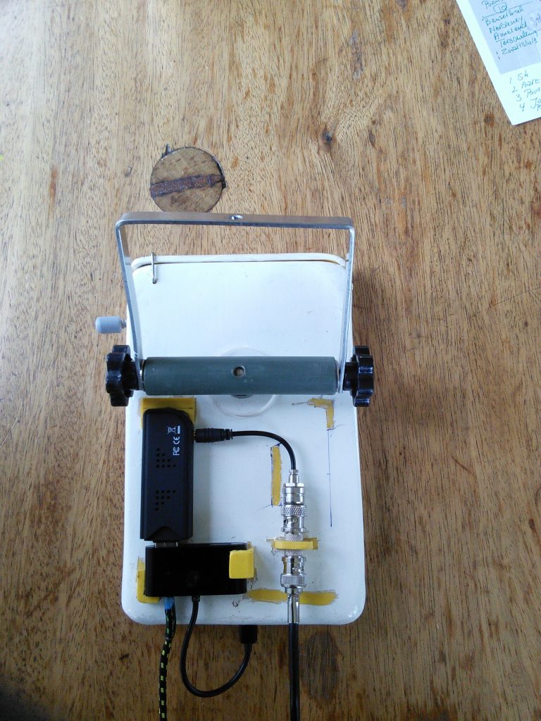
So he made a special box for onboard.
This box is located close to the stearing place.
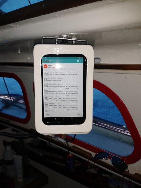
The backside of this box is equipped with:
- the USB dongle
- USB OTG cable with power supply so it does not use the tablet battery
- An MCX to BNC cable for the antenna.
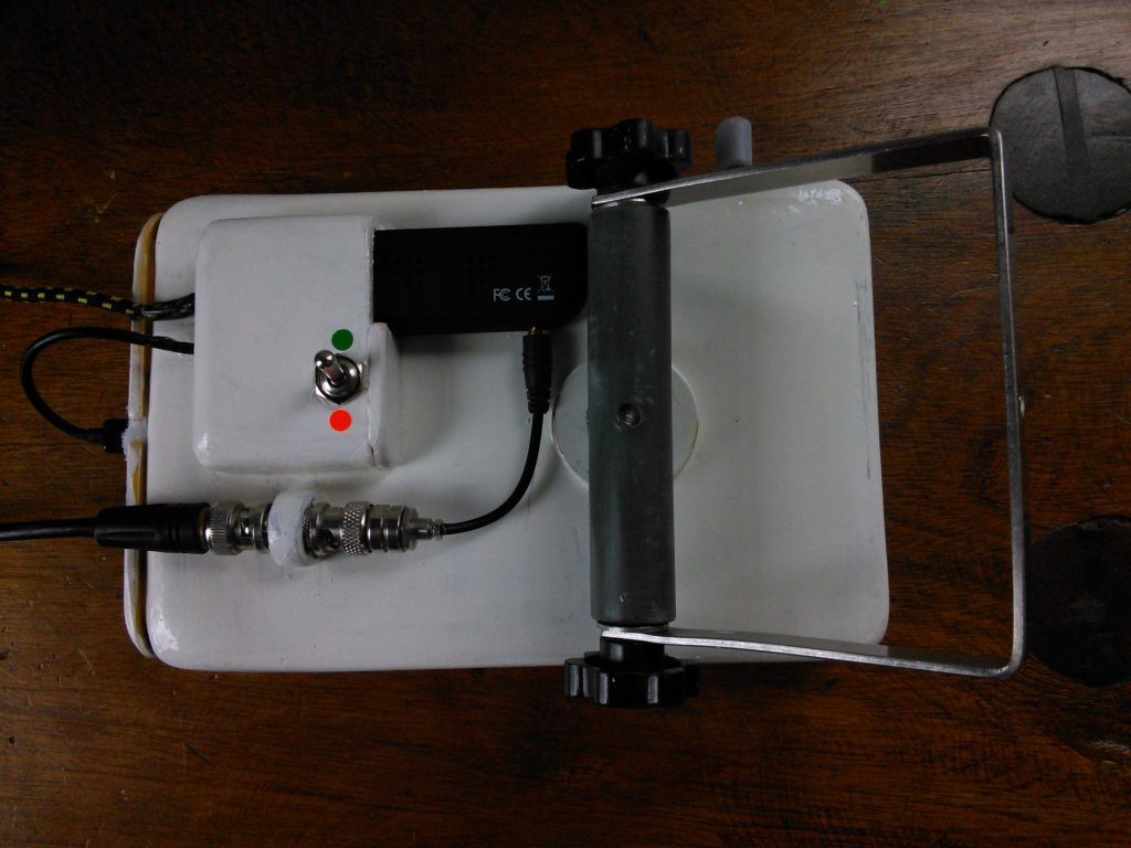
As Antenna he uses a coax collinear antenna. (The cheapest solution with high gain). See chapter (Coax Collinear Antenna) on http://www.rtl-sdr.com/rtl-sdr-tutorial-cheap-ais-ship-tracking/
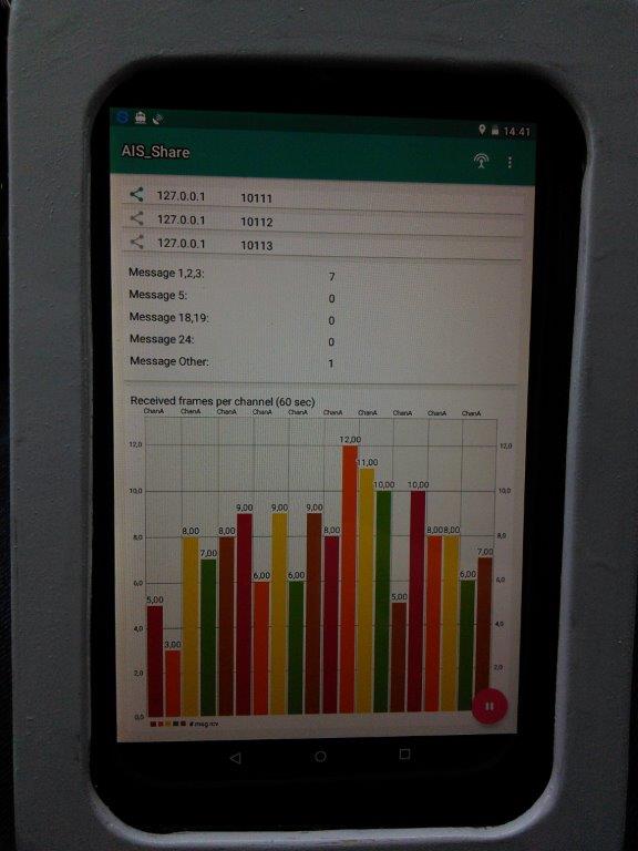
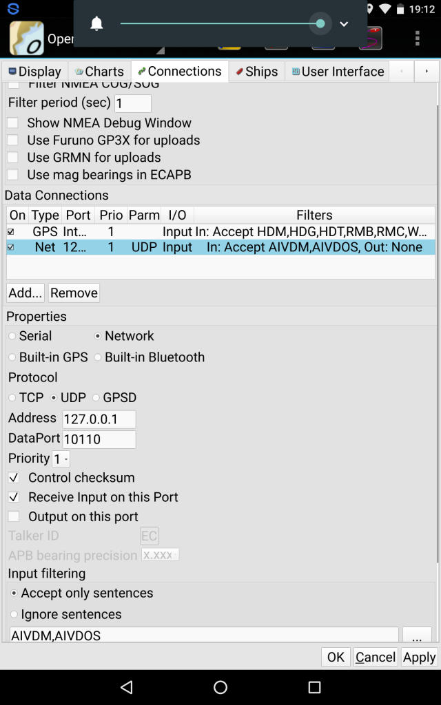
So he uses the AIS Share app in combination with the free OpenCPN Android app to have navigation charts overlay with live AIS ship information at low power consumption.
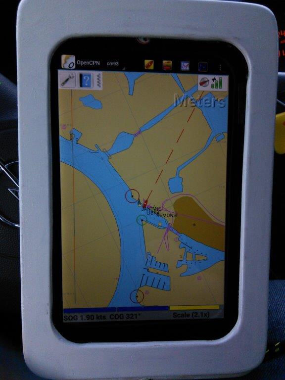
It looks really great what Harmen created.
Soon it becomes summer, he will sail again. ( At this season his boat lies in port, some 30 km’s away from his homeplace. )
You can have a look at his hoempage as well.
http://www.harmenmeijer.nl/